Opening times
All year round daily.
Practical information
Accessibility
- Not accessible in a wheelchair
Prices
Free access.
On-site services
- Pets welcome
Available facilities
- Free car park
- Car park
Route information
- Distance : 16.3 km
- Duration : 270 min
- Elevation gain : 502 m
Download PDF file
Download GPX file
Learn more
Car park GPS coordinates: 43.64137, 2.60136
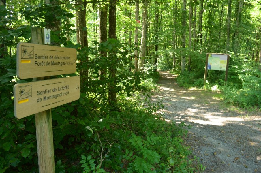
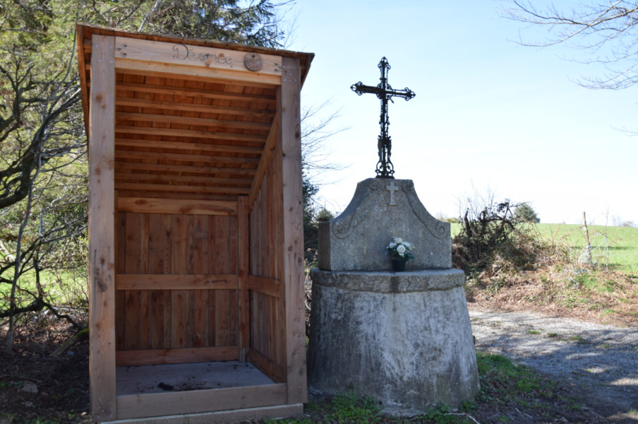
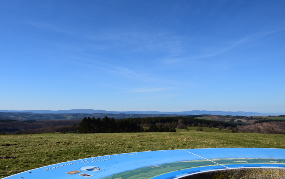
This nature trail offers remarkable scenic views, particularly of peat bogs. It consists of alternating ascents and descents, with no major difficulties. In the heart of the woods, you can see low walls marking the boundaries of plots of land and the ruins of a barn. At the summit of Puèch du Singladou (the highest point in our area), at 1,024 metres, you can see Albi Cathedral on a clear day.
You can find full details of the route by downloading the attached PDF file.
This nature trail offers remarkable scenic views, particularly of peat bogs. It consists of alternating ascents and descents, with no major difficulties. In the heart of the woods, you can see low walls marking the boundaries of plots of land and the ruins of a barn. At the summit of Puèch du Singladou (the highest point in our area), at 1,024 metres, you can see Albi Cathedral on a clear day.
You can find full details of the route by downloading the attached PDF file.

La Forêt de Montagnol
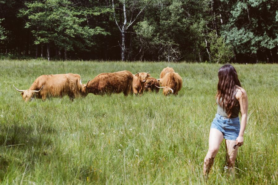
Canroute Peat Bog – Cows path
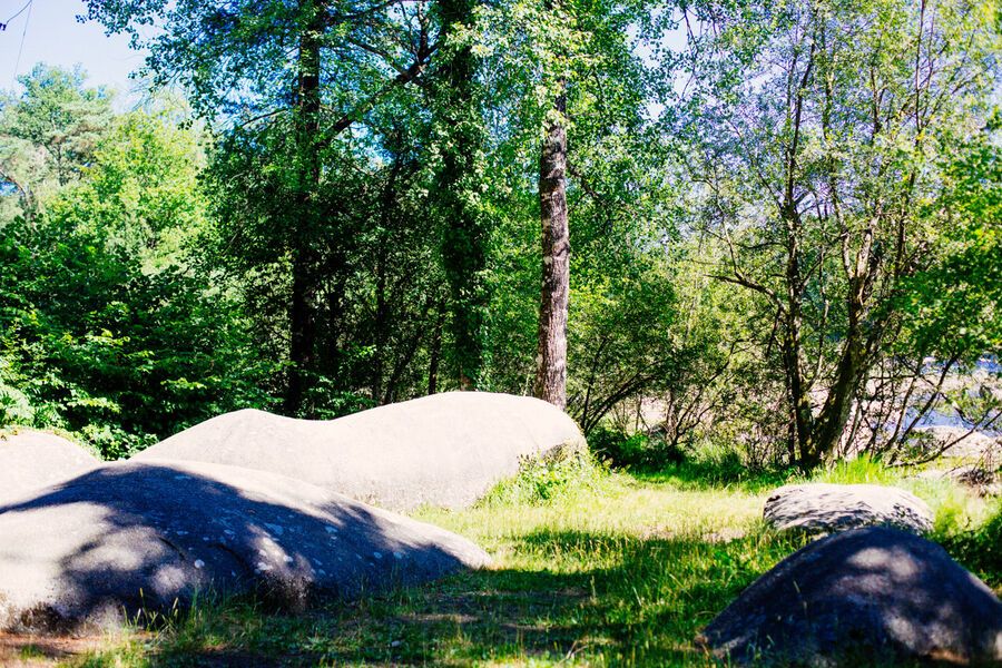
The Luthier
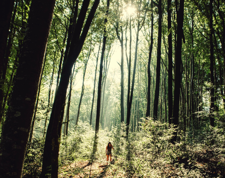
Walk through the Montagnol Forest
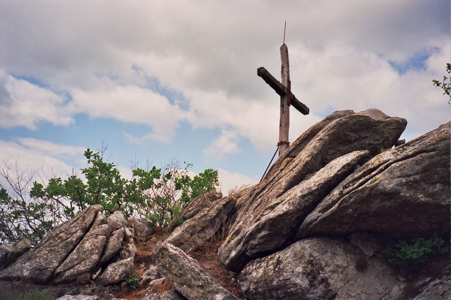
Puech Margot Walk
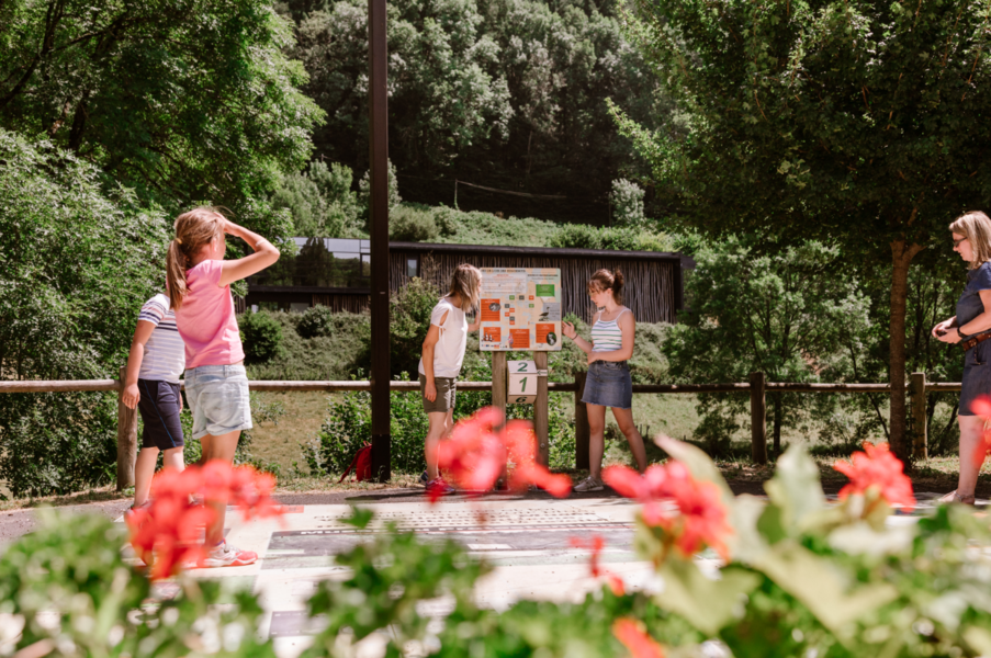
Hike: The Plos Loop
Carrierou loop trail