Opening times
All year round daily.
Practical information
Accessibility
- Not accessible in a wheelchair
Prices
Free access.
On-site services
- Pets welcome
- Coach access
- Motorhomes allowed
Available facilities
- Free car park
- Car park
- Public WC
- Picnic area
Route information
- Distance : 19.5 km
- Duration : 330 min
- Elevation gain : 590 m
Download PDF file
Download GPX file
Learn more
Car park GPS coordinates: 43.636650, 2.319025
Treasures of Romanesque architecture nestled in the valley.
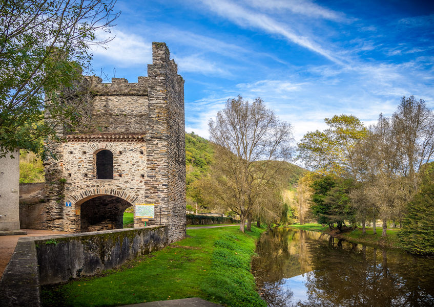
In Burlats, the Counts of Trencavel built a sumptuous residence away from the main roads, hidden in a bend of the Agout Valley. A true gem and a rare, perfectly preserved example of Romanesque civil architecture, this pavilion is named after Adélaïde, a princess with violet-coloured eyes who was celebrated in song and courted by the famous troubadours Arnaud de Mareuil and Alfonso II of Aragon.
You can find detailed directions by downloading the attached PDF file.
Treasures of Romanesque architecture nestled in the valley.
In Burlats, the Counts of Trencavel built a sumptuous residence away from the main roads, hidden in a bend of the Agout Valley. A true gem and a rare, perfectly preserved example of Romanesque civil architecture, this pavilion is named after Adélaïde, a princess with violet-coloured eyes who was celebrated in song and courted by the famous troubadours Arnaud de Mareuil and Alfonso II of Aragon.
You can find detailed directions by downloading the attached PDF file.
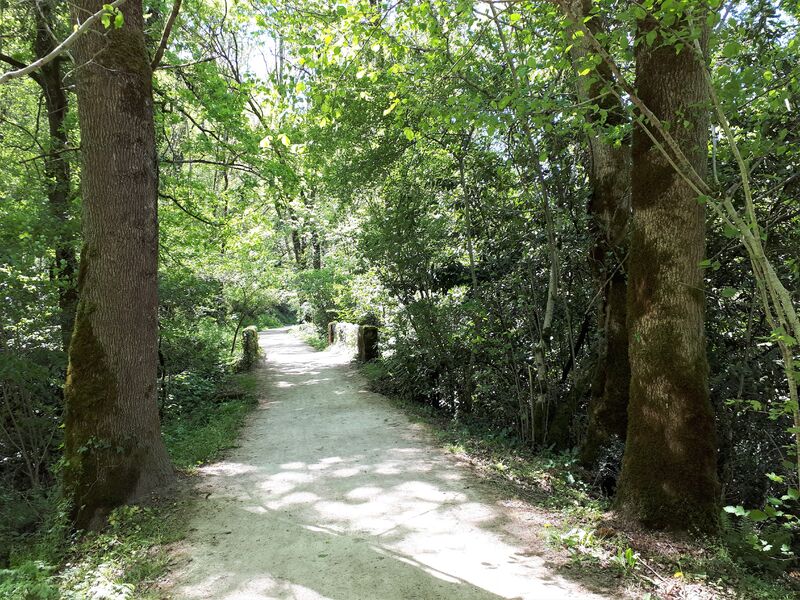
Hiking: The Fountains Trail (Chemin des Fontaines) – 15 km / 4 hours
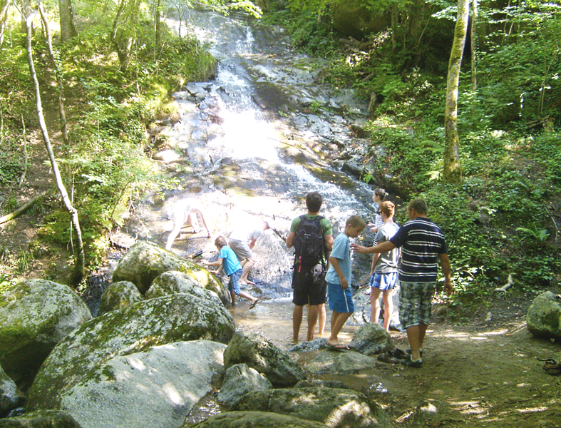
Paradise’s Waterfall Trail
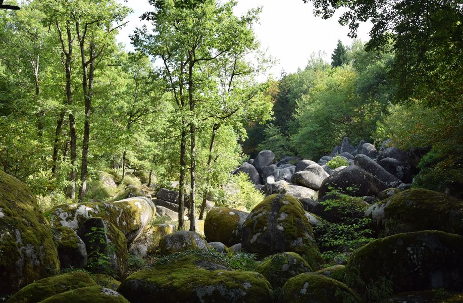
Chaos of la Rouquette and Saint Dominic’s Cave Trail
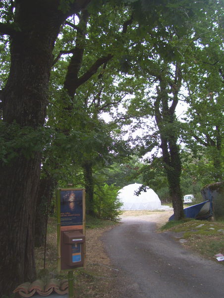
Eau Dôme
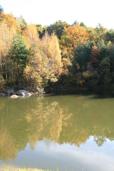
Fishing trail - Lac de Cambesse
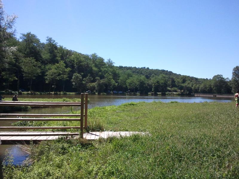
Fishing trail - Lac du Lézert
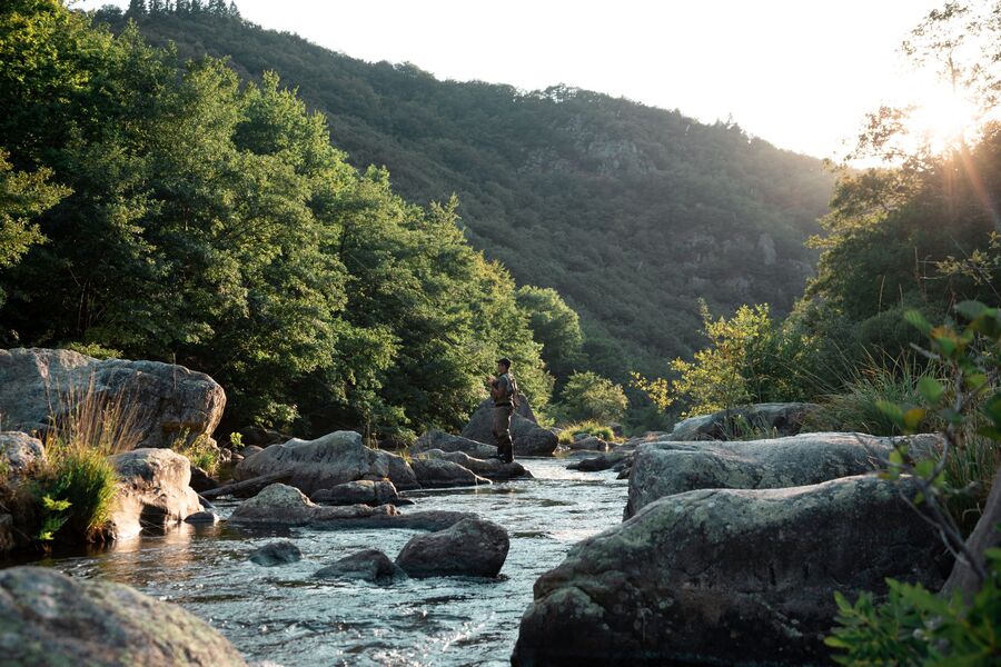
Fishing trail – The Burlats riverbanks