Opening times
All year round daily.
Practical information
Accessibility
- Not accessible in a wheelchair
Prices
Free access.
On-site services
- Pets welcome
Available facilities
- Car park
Route information
- Distance : 1.1 km
- Duration : 25 min
- Elevation gain : 50 m
Download PDF file
Download GPX file
Learn more
GPS coordinates for the car park: 43.6558, 2.3595
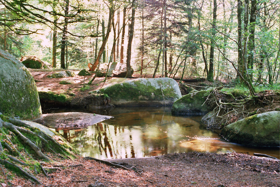
Please note that this rocky riverbed is on private property.
You can find full details of the route by downloading the attached PDF file.
Please note that this rocky riverbed is on private property.
You can find full details of the route by downloading the attached PDF file.
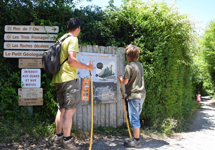
The Crémaussel Rocks
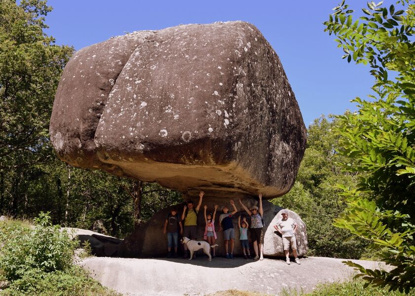
The Peyro Clabado path
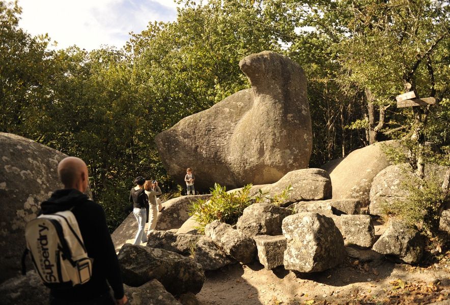
The Trail of Wonders
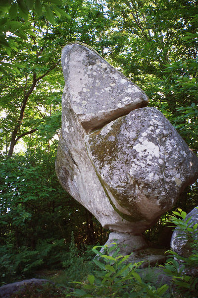
Roc du Verdier Trail
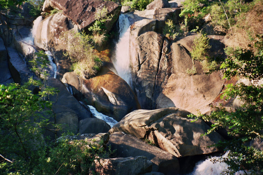
The Trout leap hike
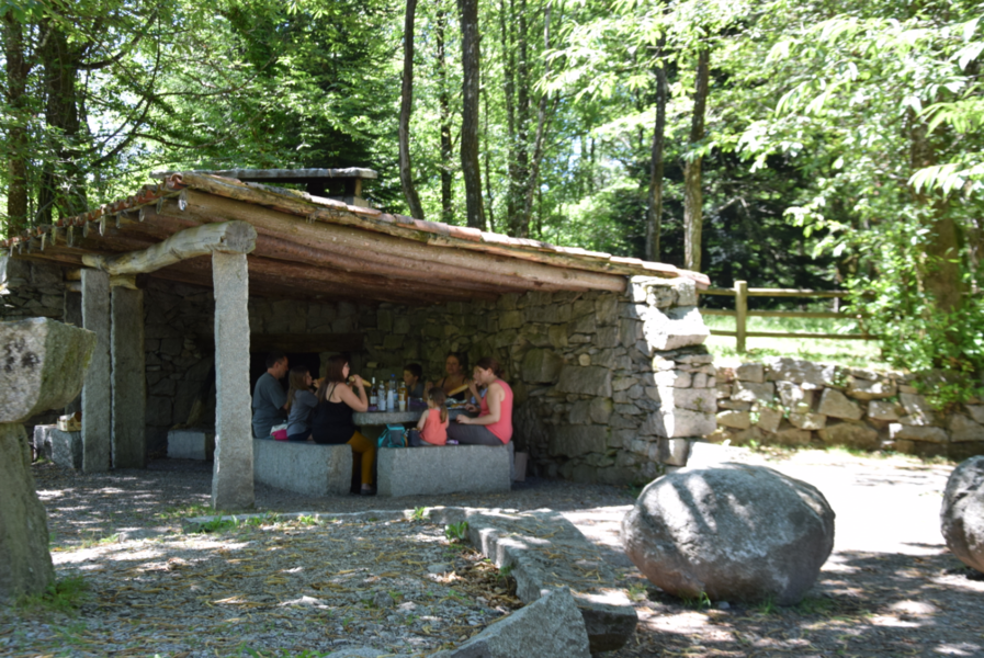
Beyriès Picnic Area
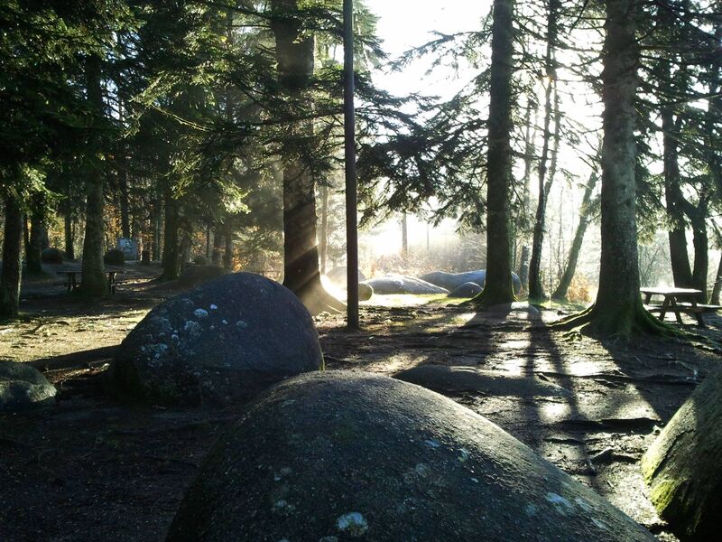
Lac du Merle picnic area