Opening times
All year round daily.
Practical information
Accessibility
- Accessible for self-propelled wheelchairs
- Even flooring with no obstacles
- Doors >=77 cm wide
- Reception desk between 70-80 cm high
- Reception staff sensitized to the reception of people with disabilities
Prices
Free access.
On-site services
- Pets welcome
- Coach access
- Motorhomes allowed
Available facilities
- Free car park
- Car park
- Public WC
- Picnic area
Route information
- Distance : 5.5 km
- Duration : 120 min
- Elevation gain : 301 m
Download PDF file
Download GPX file
Learn more
GPS parking : 43.62882, 2.49675
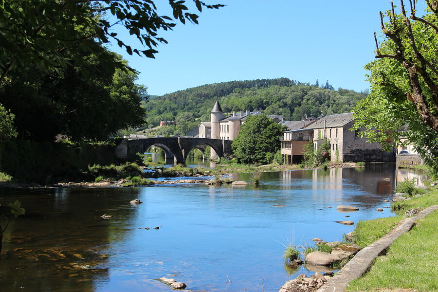
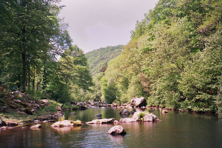
The Agout river, emerging from a steep gorge, meanders into a vast basin. In the Middle Ages, it separated the castles of the lordships of Castelnau (right bank) and Belfortès (left bank). This river carried away the bodies of the belligerents during the struggles between Protestants and Catholics in the 16th century. It operated the fulling mills (paradors) which pressed the woolen cloths to give them their consistent texture. In the 17th century Brassac was already producing the best quality, called cordelats. Brassac was developing thanks to the energy of its river and its men.
The Agout river, emerging from a steep gorge, meanders into a vast basin. In the Middle Ages, it separated the castles of the lordships of Castelnau (right bank) and Belfortès (left bank). This river carried away the bodies of the belligerents during the struggles between Protestants and Catholics in the 16th century. It operated the fulling mills (paradors) which pressed the woolen cloths to give them their consistent texture. In the 17th century Brassac was already producing the best quality, called cordelats. Brassac was developing thanks to the energy of its river and its men.
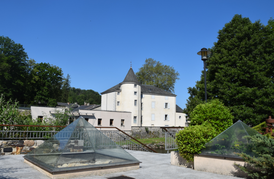
Hiking in the older neighbourhoods
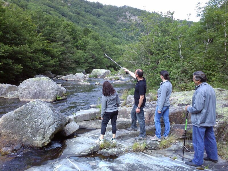
The Camboussel path
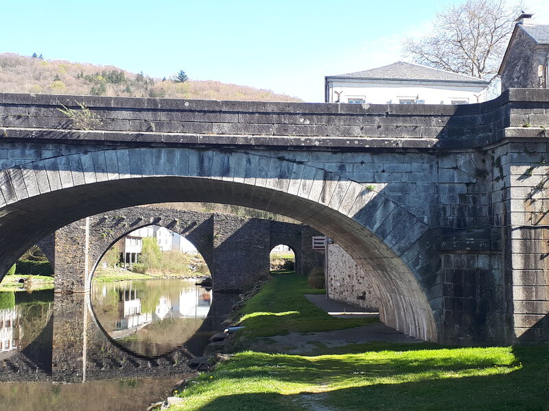
Cap d'Aze path
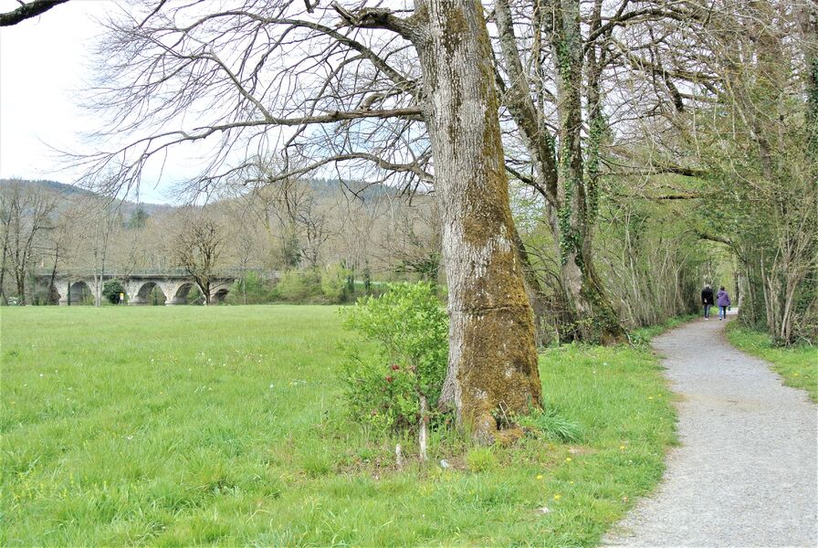
Soft path from Brassac to Bouissas via Saint Agnan
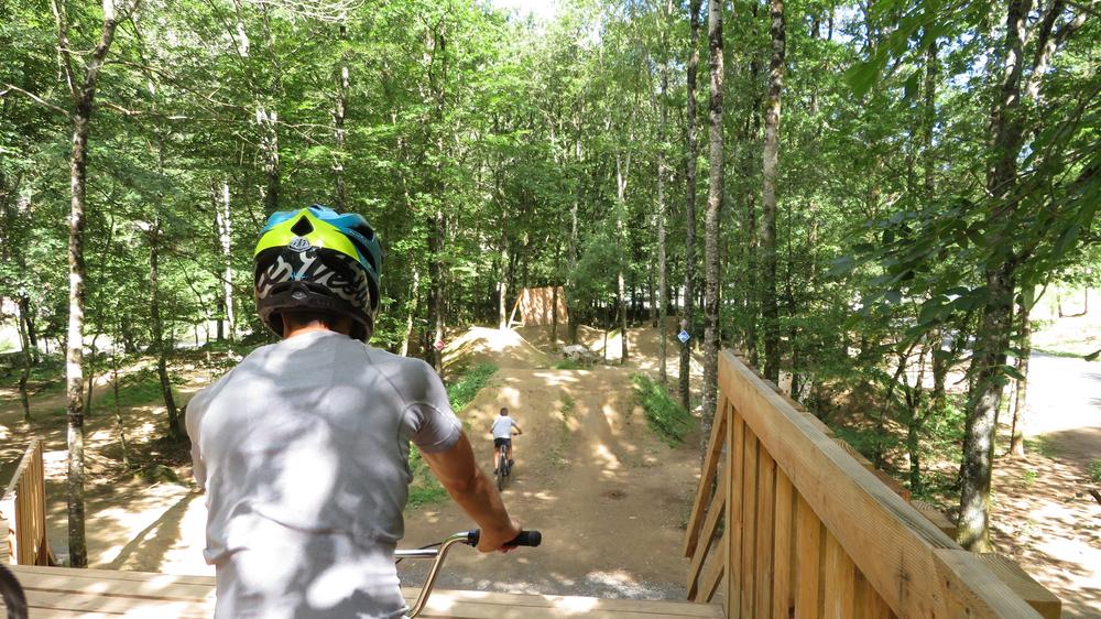
In Camboussel, non-stop pump track and BMX bikes for hire!
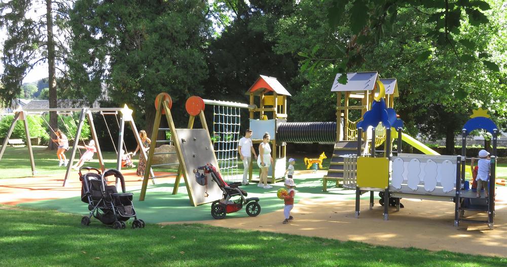
Playground
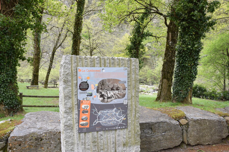
Camboussel picnic area