Opening times
All year round daily.
Practical information
Accessibility
- Not accessible in a wheelchair
Prices
Free access.
On-site services
- Pets welcome
- Motorhomes allowed
Available facilities
- Car park
- Public WC
Route information
- Distance : 10.7 km
- Duration : 180 min
- Elevation gain : 324 m
Download PDF file
Download GPX file
Learn more
Car park GPS coordinates: 43.60720, 2.47642
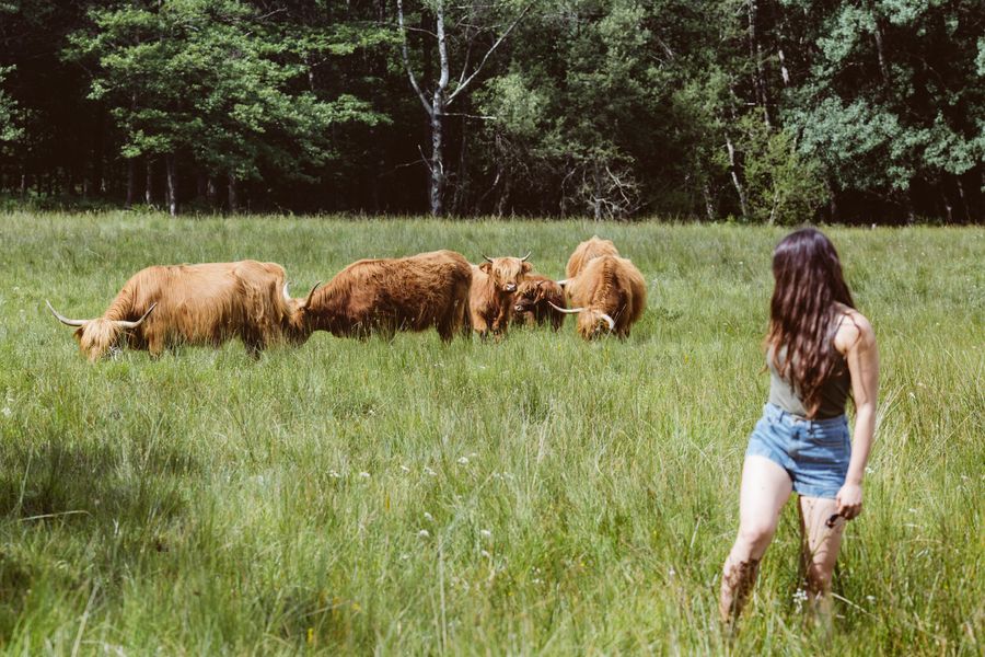
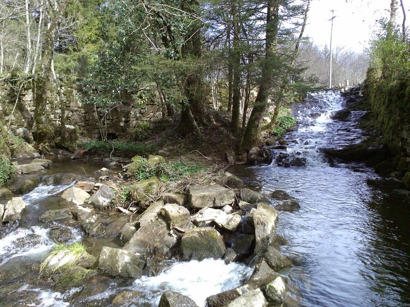
This walk takes you through the more agricultural and wooded parts of the Sidobre, with the advantage of featuring paths and tracks that are accessible to everyone.
You can find full details of the route by downloading the attached PDF file.
This walk takes you through the more agricultural and wooded parts of the Sidobre, with the advantage of featuring paths and tracks that are accessible to everyone.
You can find full details of the route by downloading the attached PDF file.
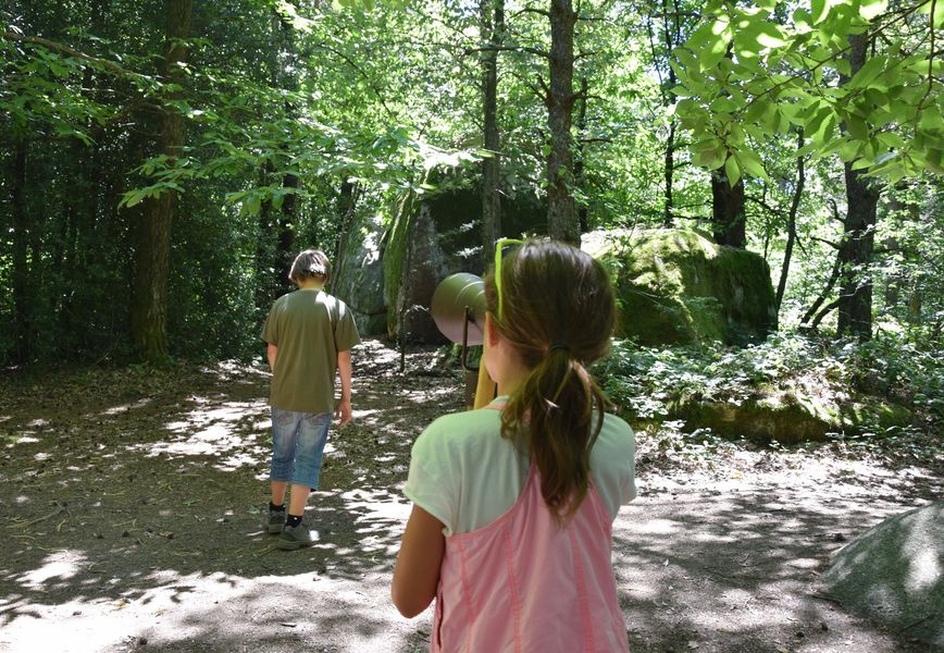
Sidobre: You Are the Hero
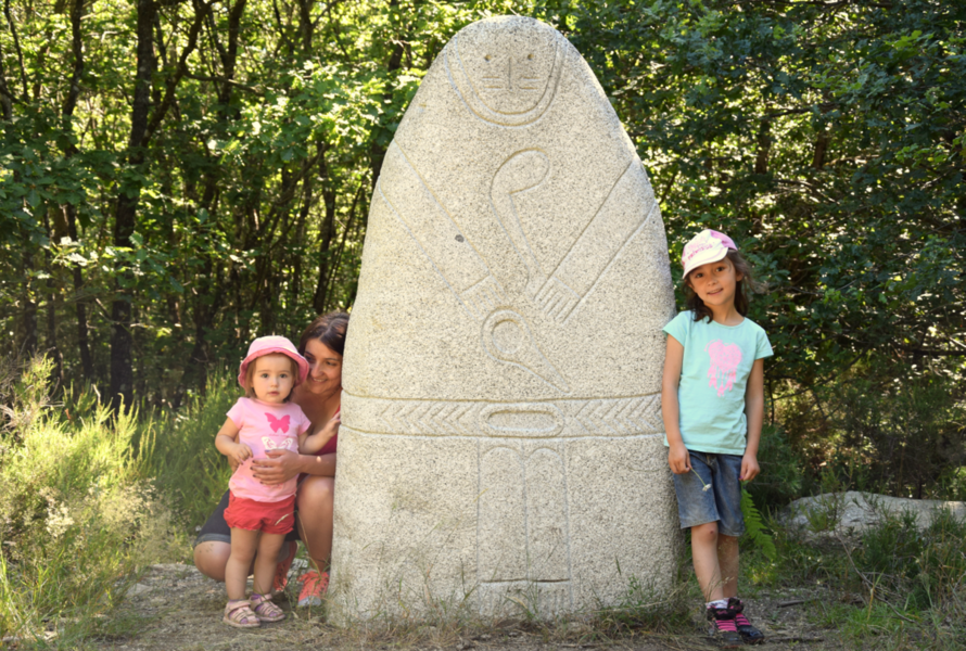
Path of the Immortals
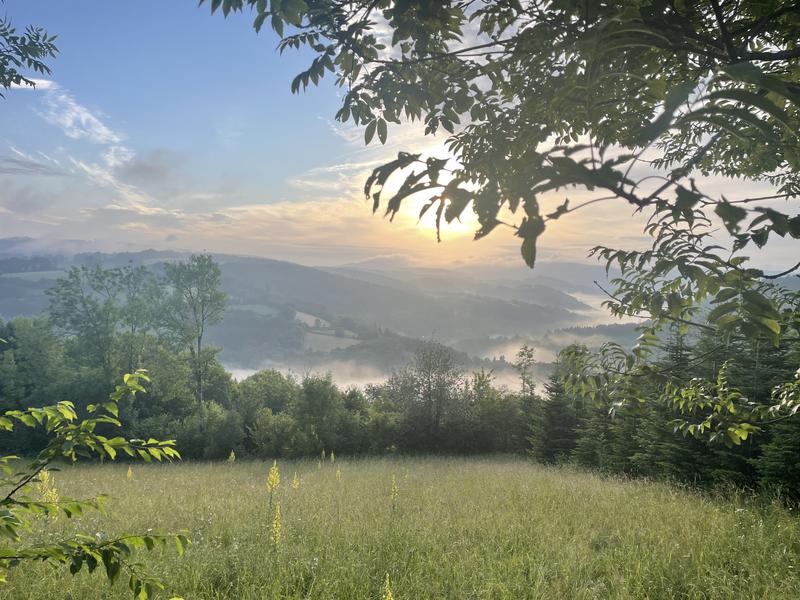
Three Villages Trail
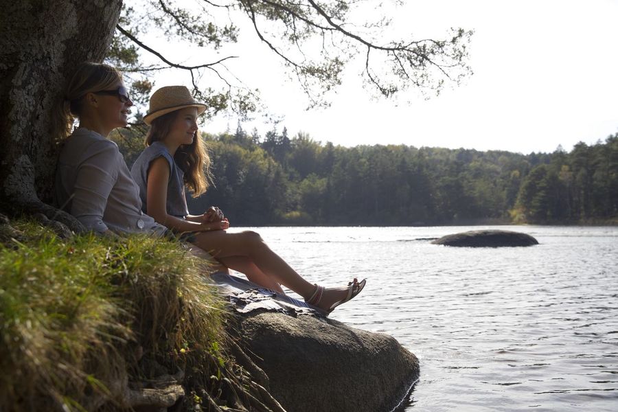
The path from Lac du Merle to the Vialavert peat bogs
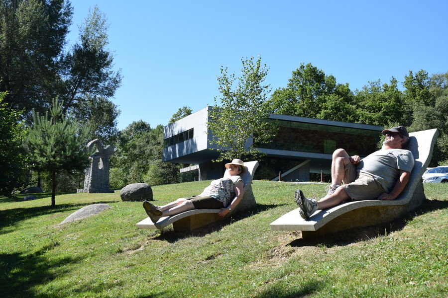
Picnic area at the Maison du Sidobre
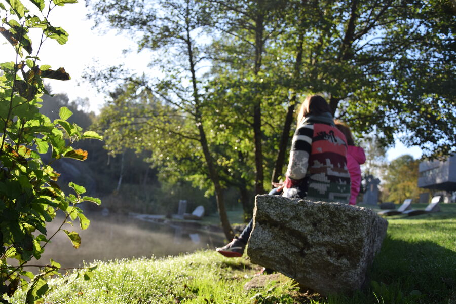
Fishing trail – Lac de la Maison du Sidobre

La Forêt de Montagnol