Opening times
All year round daily.
Practical information
Prices
Free access.
On-site services
- Pets welcome
- Motorhomes allowed
Available facilities
- Car park
- Public WC
Route information
- Distance : 21.5 km
- Duration : 340 min
- Elevation gain : 938 m
Download PDF file
Download GPX file
Learn more
GPS coordinates for the car park: 43.58640, 2.44139
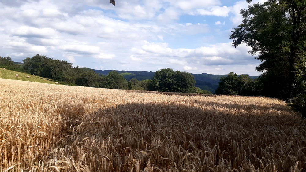
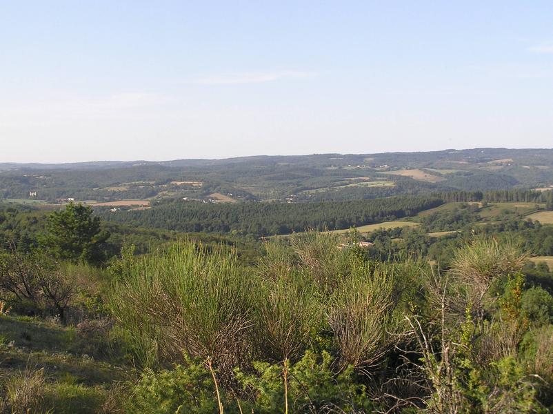
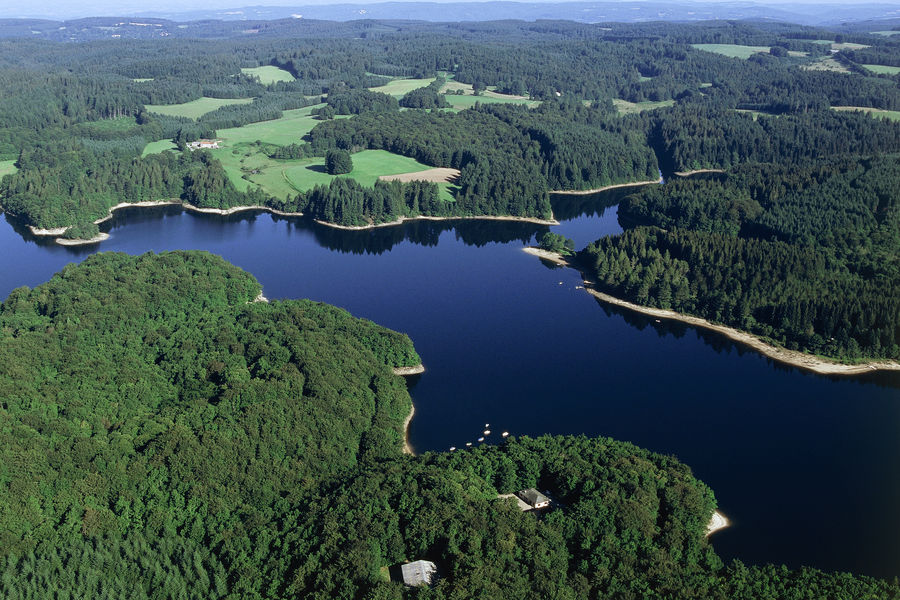
A walk through the hills around Cambounès, offering beautiful panoramic views and the chance to admire the area’s local heritage: churches in the villages and hamlets, as well as some rarer features such as ‘pierre plantée’ and menhirs.
A walk through the hills around Cambounès, offering beautiful panoramic views and the chance to admire the area’s local heritage: churches in the villages and hamlets, as well as some rarer features such as ‘pierre plantée’ and menhirs.
Le Rampaillou
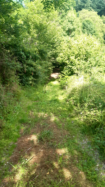
Walk through the Prince’s Wood
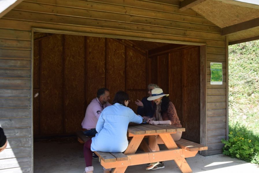
Picnic area at the Cambounès Arboretum
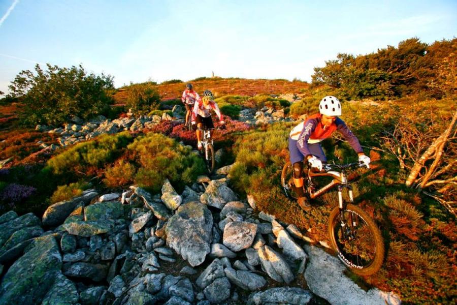
Mountain Bike Trail No. 8 – Cambounès (Brassac area)
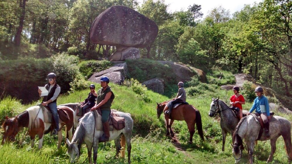
A horse-riding tour of the Tarn – The circular routes in the Hautes...
A horse-riding tour of the Tarn: Cambounès / Anglès

La Forêt de Montagnol